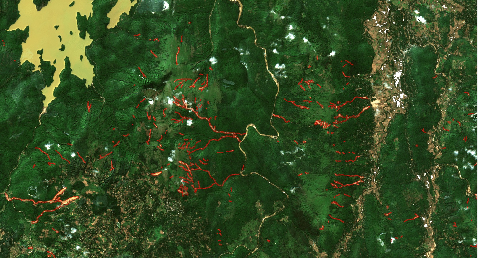
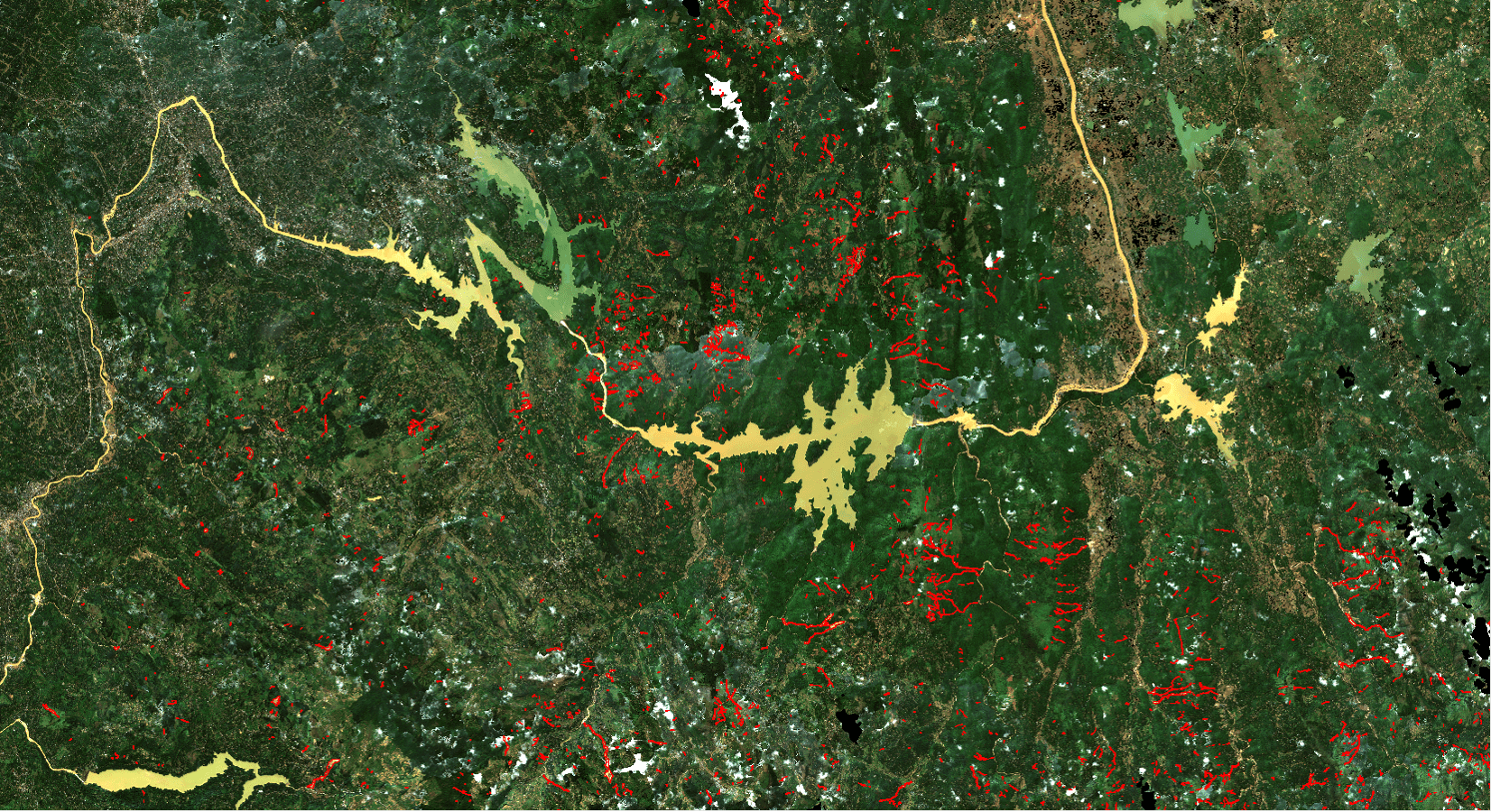
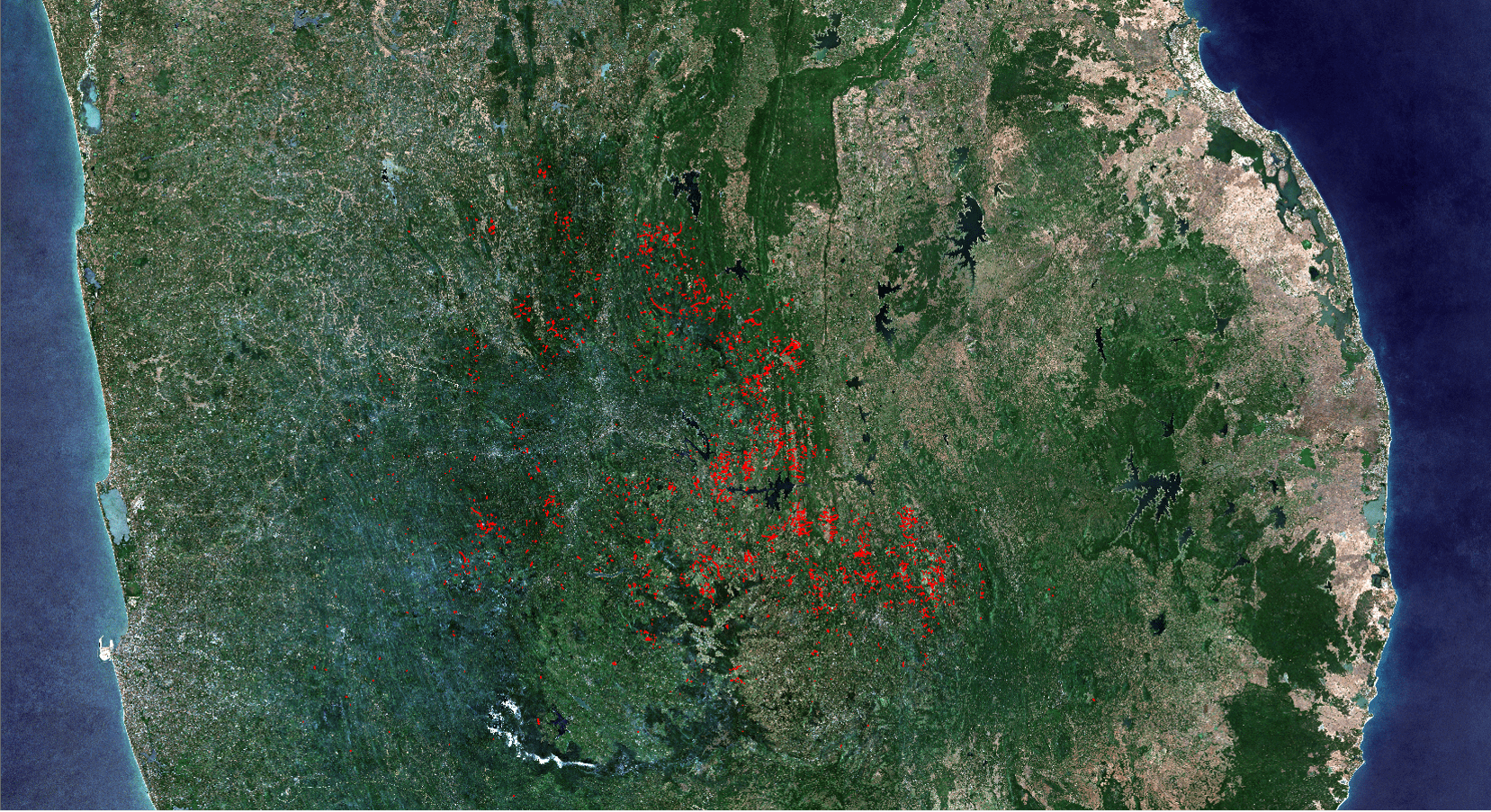
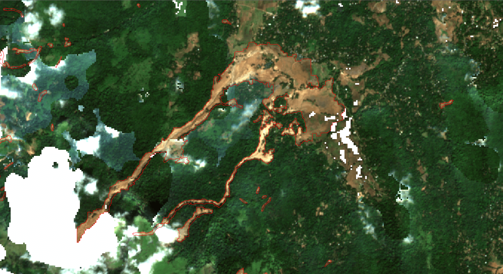
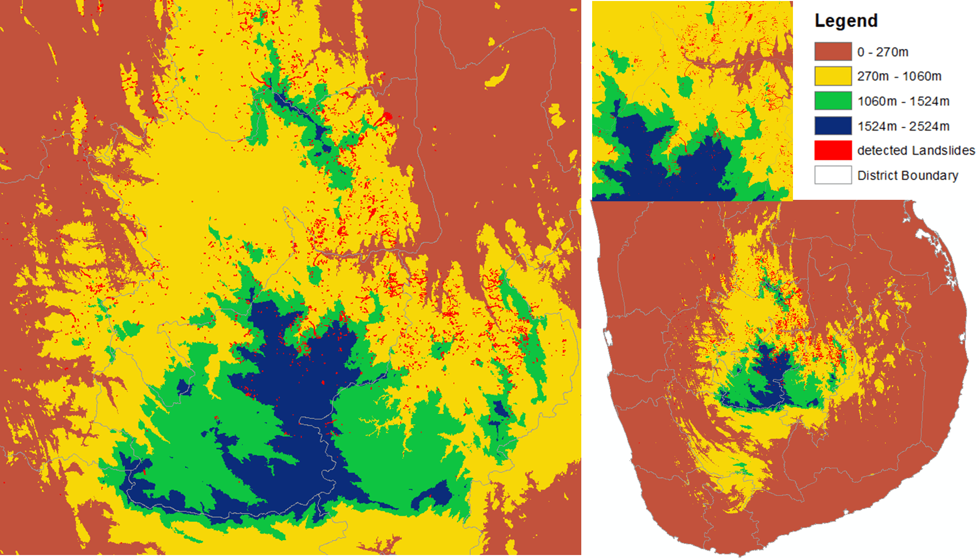
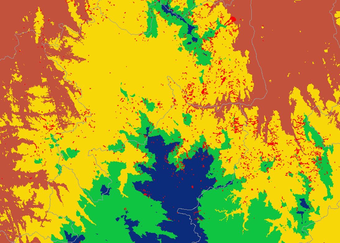
Arthur C. Clarke Institute for Modern Technologies (ACCIMT) successfully mapped more than 4,000 individual landslide events caused by the Ditwah Cyclone within two weeks following the disaster.
During the Ditwah Cyclone period, a large number of landslides occurred across the affected regions, making rapid and detailed landslide mapping essential for damage assessment and future disaster modelling. Recognizing this urgent requirement, ACCIMT successfully mapped over 4,000 landslides using freely accessible Sentinel-2 satellite imagery through pre- and post-disaster spatial analysis at 10 m resolution.
This achievement demonstrates the effective utilization of freely available satellite data resources within a developing-country context. The developed landslide maps were promptly shared with all relevant authorities without restrictions to support disaster response and management activities. In addition, downloadable data access links were distributed among responsible institutions.
This initiative highlights the significant national-level contribution of ACCIMT to the disaster management sector in Sri Lanka.
The dataset is publicly available for disaster management, research, academic, and decision-support purposes. Users are kindly requested to acknowledge the Arthur C. Clarke Institute for Modern Technologies (ACCIMT) when using this dataset.
Satellite Data Analysis and Final Product Development by:
·Mahesh Chathurange (Research Scientist – Space Technology Applications Division)
·W.G.N.N. Jayawardhana (Research Scientist – Space Technology Applications Division)
On behalf of the Arthur C. Clarke Institute for Modern Technologies (ACCIMT).